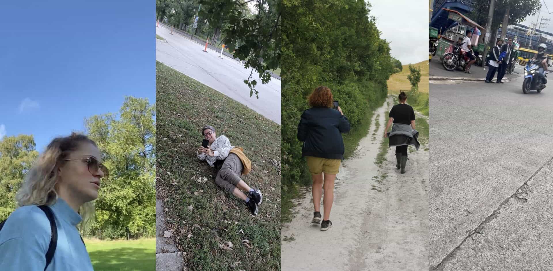
Posthuman Walking Project Podcasts
Posthuman Walking Project Podcasts By Dr Shirley Chubb and Dr Clair Hebron…

Artist Rebecca Chesney introduces the project ‘Landed: Cadastral Maps,’ which set out to discover land boundaries and ownership across a slice of Lancashire – and found just how challenging this was.
The red cadastral map above, showing land boundaries and ownership, was produced as part of the project – the first time a land ownership map of this area has been constructed.
Posthuman Walking Project Podcasts By Dr Shirley Chubb and Dr Clair Hebron…
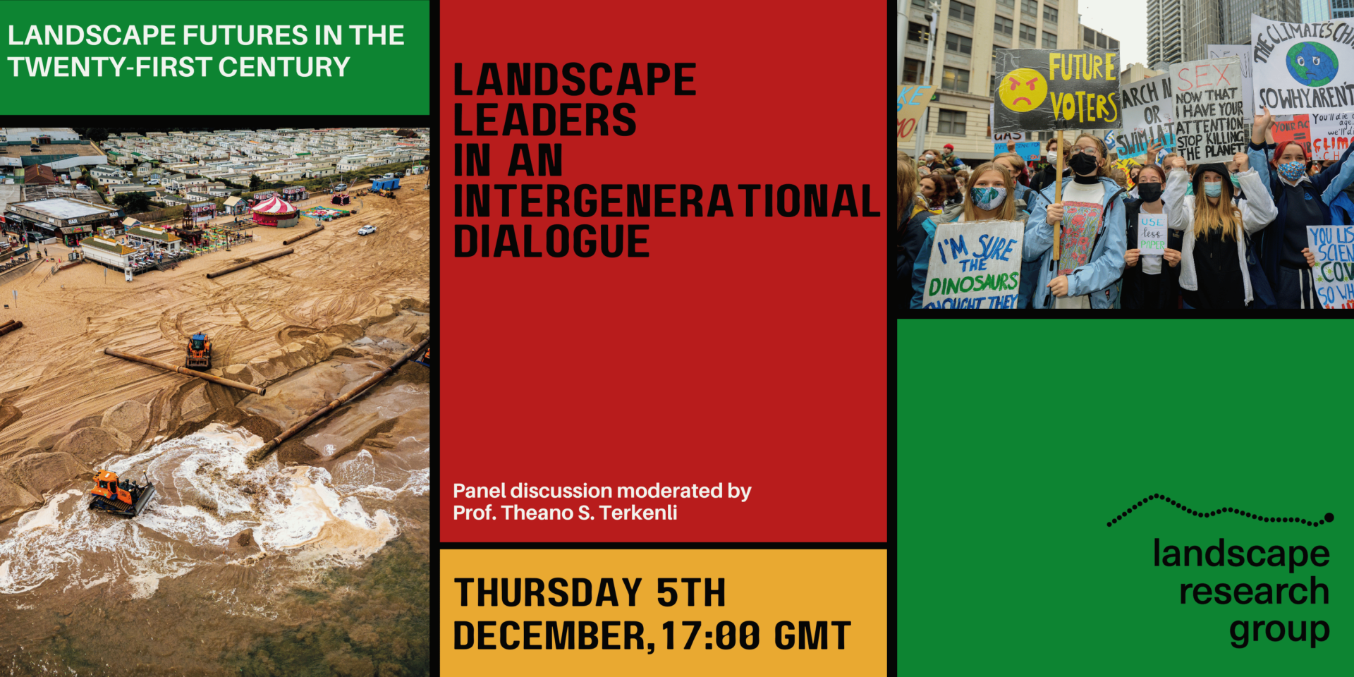
On 5th December 2024, the Landscape Research Group, in collaboration…
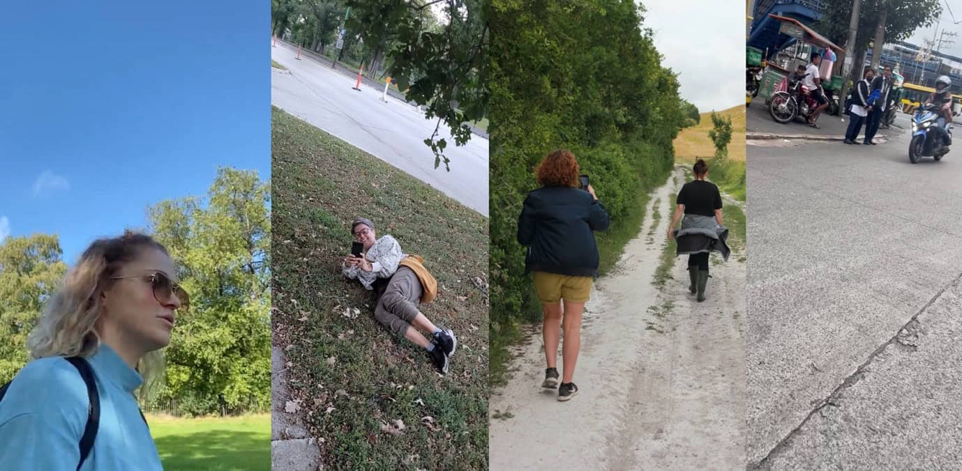
The Posthuman Walking Project By Dr Shirley Chubb and Dr…