Borders and boundaries field trip

A field trip of a slice of Lancashire as part of LRG's annual research showcase event, 2019

A field trip as part of LRG’s annual research showcase event, in 2019 entitled “Landscape justice: borders and boundaries” and held in and around Lancaster, UK.

We journeyed through a slice of Lancashire, from Cockersand Abbey on the coast to the moors at the Trough of Bowland, exploring land ownership, power relations and the impact on people’s lives. We travelled a route through the area defined by ‘Landed: Cadastral Maps,‘ led by John Angus, founder and director of StoreyG2, a contemporary art organisation based in Lancaster, and Layla Curtis, artist and founder of Edgework, an artist-led, online store and multidisciplinary journal with a focus on place.

They shared their knowledge of the history, stories and estates we travelled through, the connections and disconnections. Their main pursuit throughout the project was patience; finding owners meant first finding boundaries of land parcels. Cadastral maps (maps of boundaries) in much of the UK simply don’t exist, so archive records, letters, estate registers were scoured, as was the landscape itself, for boundary stones and other clues. Only when they established a particular land parcel could they request information on ownership. Of the 700 land parcels in the project area, they ended up focusing on 50, limited by time and funds.

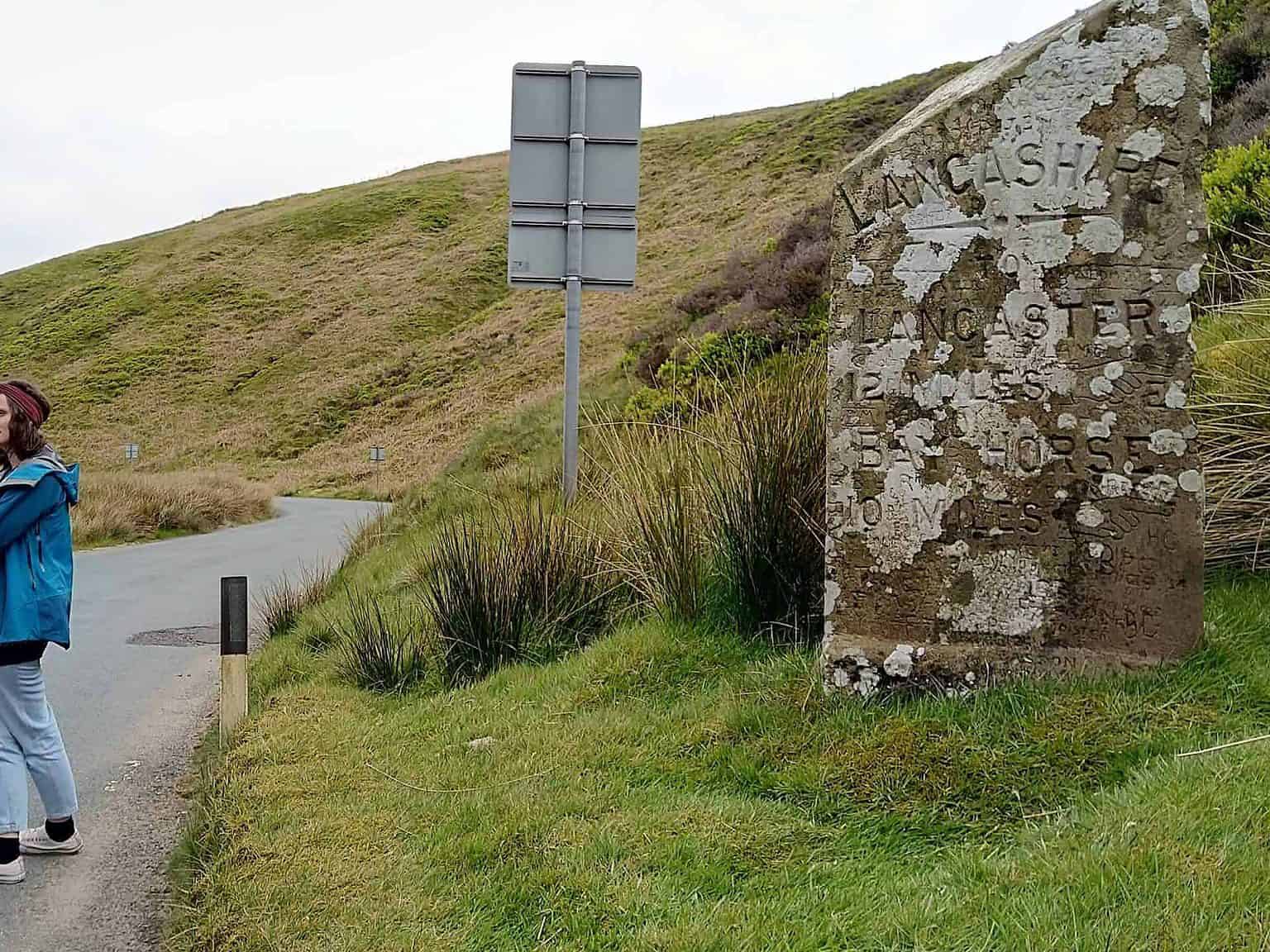
It was a rich afternoon ended by crossing the old Lancashire-Yorkshire border, marked by a carved stone in the Trough of Bowland.

We also heard from community arts practitioner Siobhán Forshaw about her recently funded project Ways & Meanings which will be based in the South Lake District in partnership with Grizedale Arts. Her mixed-methods research, including creative responses and techniques such as automatic writing, will uncover the different narratives around track- and pathways, looking at who has power and control of these narratives, in the hope of providing alternatives, and opening up the landscape to its myriad meanings and people (and critters?) who frequent it.

Trulli
A journey through a slice of Lancashire, exploring land ownership, power relations and and the impact on people’s lives.

Trulli
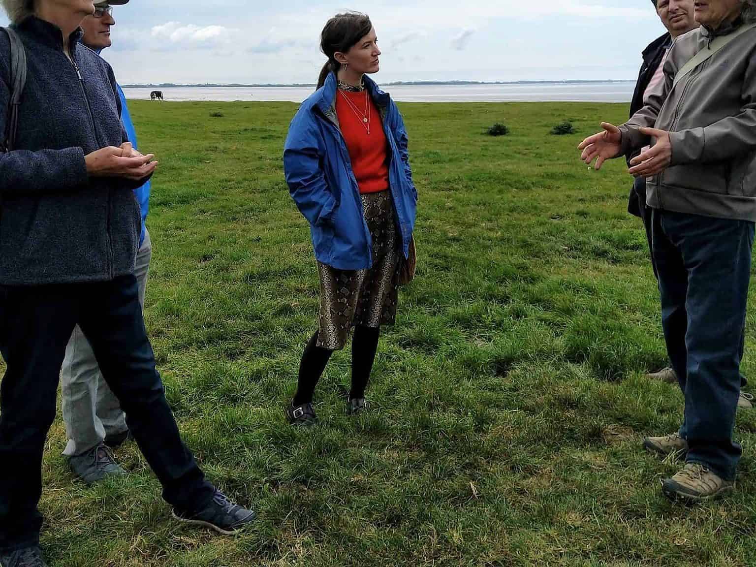
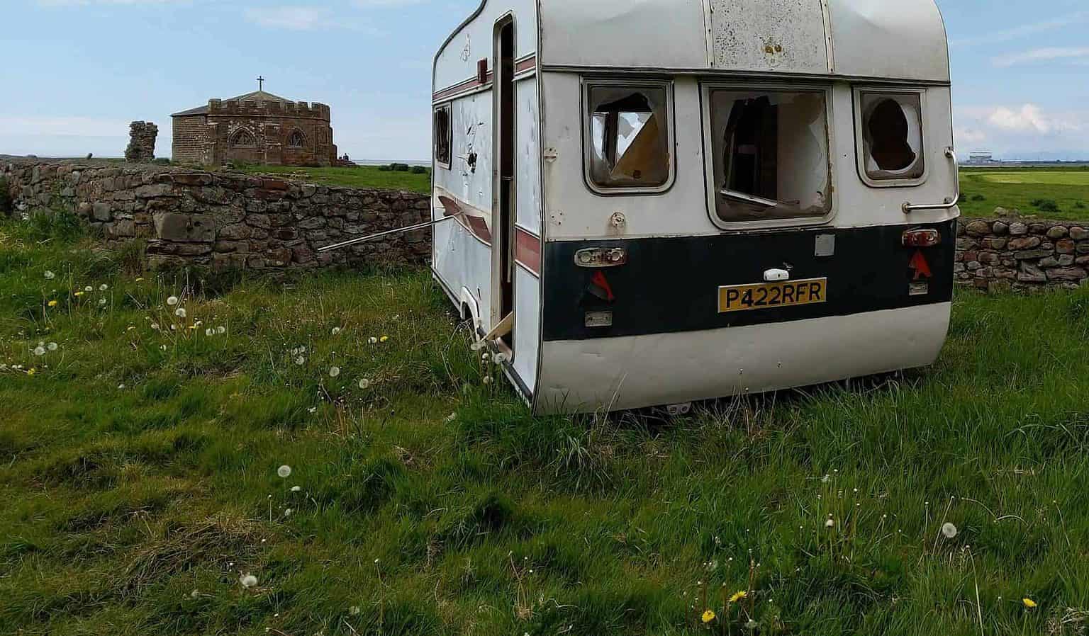
We began on the east coast at Cockersand Abbey (pictured)...
Trulli
...and travelled a route west through the area defined by the project ‘Landed: Cadastral Maps,‘ led by John Angus, founder and director of StoreyG2, a contemporary art organisation based in Lancaster, and Layla Curtis, artist and founder of Edgework, an artist-led, online store and multidisciplinary journal with a focus on place.
Trulli
Discussing the complexities of defining land boundaries when cadastral maps (maps of land ownership) are non-existent for most of England. Research included much walking to identify any physical boundary stones left within the landscape.
Trulli
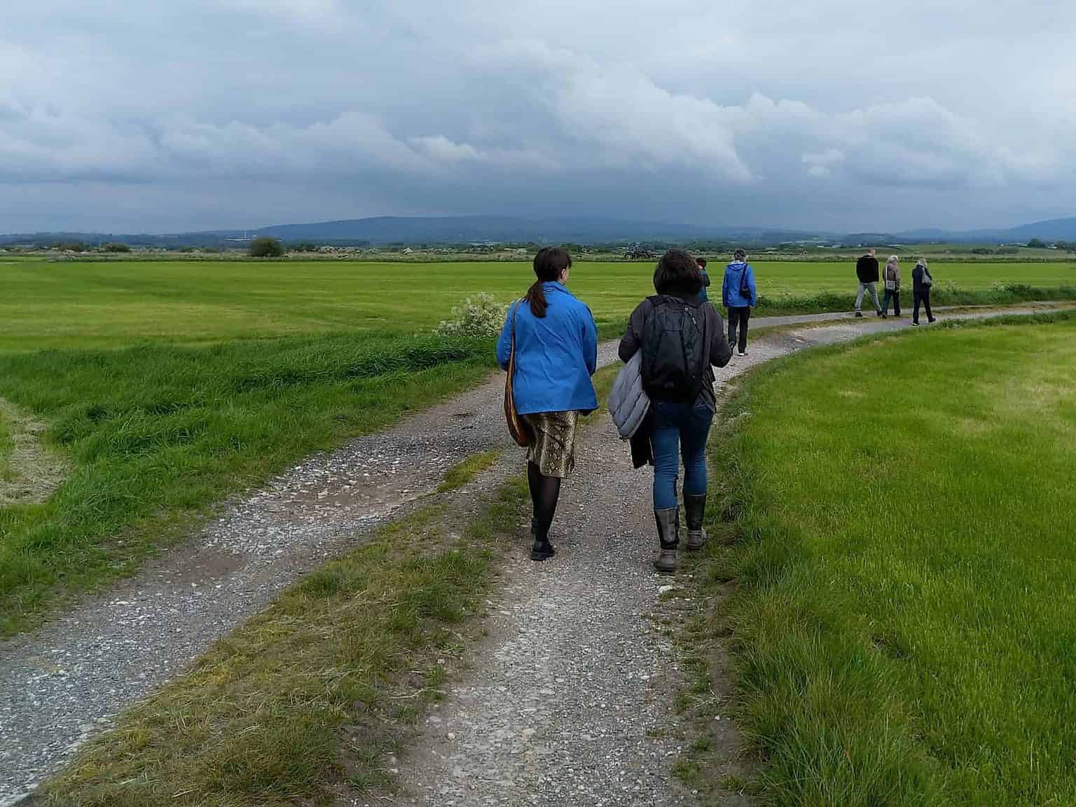
Looking west through the project area, towards the moorland hills of the Trough of Bowland. The main pursuit throughout the project was patience; only when they established a particular land parcel could they request information on ownership. Of the 700 land parcels in the project area, they ended up focusing on 50, limited by time and funds.
Trulli
Atop the moors, sharing knowledge of the history, stories and estates we travelled through, the connections and disconnections.
Trulli
The old Lancashire-Yorkshire border stone at the Trough of Bowland, the westernmost point of the project area.
Trulli
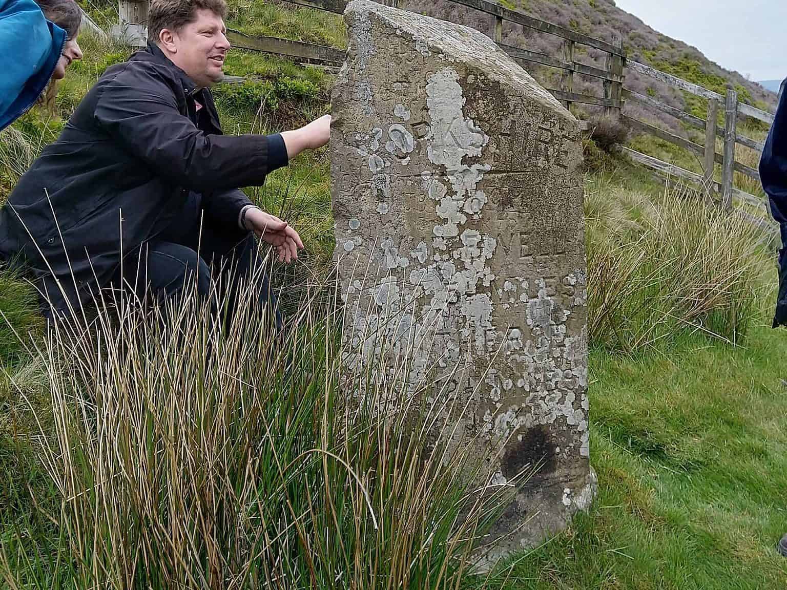
Examining the carvings on the border stone.
Trulli
Layla Curtis explaining more details of the project, and her linked work 'Trespass,' an app which shares stories and the history of a former community woodland - which you have to 'trespass' in to hear the stories.
Trulli
We also heard from community arts practitioner Siobhán Forshaw about her recently funded project Ways & Meanings which will be based in the South Lake District.
Trulli
Her mixed-methods research, including creative responses and techniques such as automatic writing, will uncover the different narratives around track- and pathways, looking at who has power and control of these narratives, in the hope of providing alternatives, and opening up the landscape to its myriad meanings and people (and critters?) who frequent it.
Trulli
Group discussion atop the moors!

Location

Related Content

Dunkerque Creative Outputs

https://youtu.be/wYPMUtWIRvg
Find out more